In October 2016 I visited Hovenweep National Monument, and hiked to the Holly House ruin group, built sometime after 1200 AD.
Near the ruins are petroglyphs, inscribed under a rock overhang:
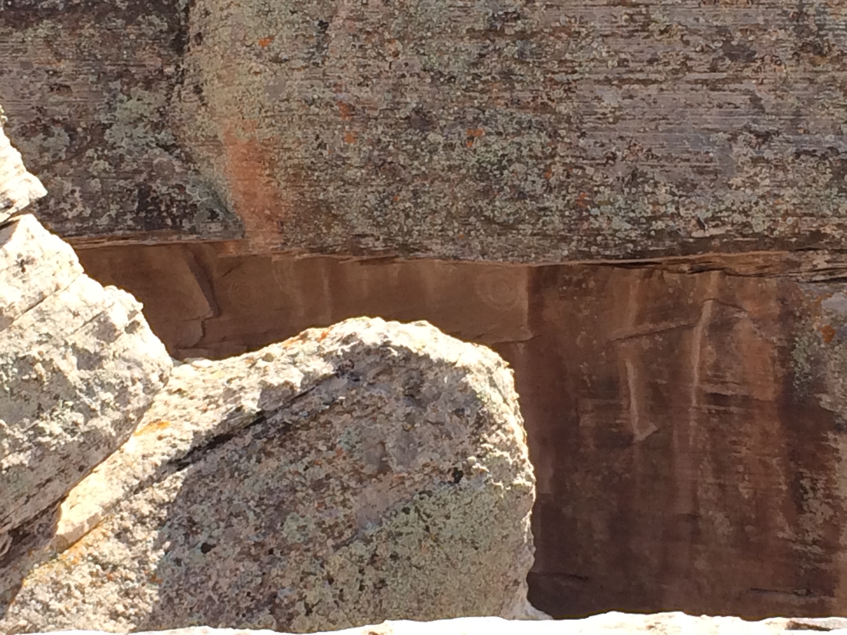
(if you look closely, you will see at least two sets of nested circles, or spirals).
There have been several recorded instances of Pueblo spiral petroglyphs being associated with sun solstices. For instance, in Arizona, and Chaco Canyon. Indeed, the petroglyphs at Holly House have been interpreted as being a marker for the summer solstice, at which time a shaft of light bisects the spirals.
However, the location may have been used for winter solstice sun rise observations as well. On the horizon, immediately above the rock on which the petroglyphs are carved, the tip of Sleeping Ute mountain is clearly visible (note that the bearing displayed by the app is only approximate):
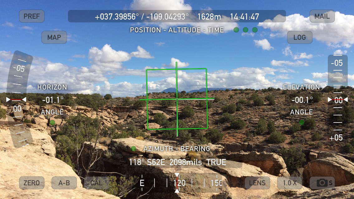
To obtain a much more precise bearing, using my GPS, I recorded the position of the site to be 37.39856N, 109.042946 W. The tip of Ute Mountain is located at 37.2842N, 108.7787W, at a bearing of 118.5 degrees.
At the latitude of the petroglyphs, the sun rises at winter solstice at 119.5 degrees at a level horizon. Because of the presence of the mountain, the azimuth of the sun rise occurs slightly offset from this.
Thus, the site was very likely used as a sun watching station not just at the summer solstice, but also at the winter solstice, tied into a broader ritual landscape.